You’re standing near an airport with your DJI Mini 4 Pro, ready to capture stunning aerial footage—but something feels off. On January 13, 2025, DJI removed all automatic geofencing restrictions across the United States, meaning your drone won’t prevent takeoff near airports anymore. This sudden policy shift has caught thousands of drone pilots off guard, transforming what was once a safety net into a legal minefield where every flight decision now carries significant risk.
The change affects every DJI model from the Mini series to the Inspire 3. Where red zones once physically blocked takeoff within five miles of JFK or LAX, pilots now see only dismissible yellow warnings. This guide explains exactly what changed, why DJI made this controversial decision, and most importantly—how to legally fly your DJI drone near airports without risking FAA penalties that could reach $32,666 per violation.
Why DJI Removed Airport Restrictions Overnight
DJI’s elimination of mandatory geofencing represents the most significant shift in consumer drone safety since the 2015 White House drone incident that originally prompted these restrictions. The company replaced automatic takeoff prevention with a warning-based system that places full responsibility on operators—a move timed precisely ten years after that infamous crash landing on the White House lawn.
Three critical factors drove this change: alignment with FAA Remote ID requirements, successful EU implementation in 2024, and reduced US government cooperation following DJI’s designation as a “Chinese Military Company.” Without official government partnership, DJI shifted to a model where your DJI Fly or GO app now displays Enhanced Warning Zones instead of blocking zones—yellow overlays you can simply dismiss with a tap.
The Immediate Impact on Your DJI Drone
Within hours of the January 13, 2025 update, pilots discovered their previously restricted drones could now take off near airports. Your Mini 3 Pro, once physically prevented from launching within five miles of Chicago O’Hare, now only shows a warning you can bypass. This creates dangerous ambiguity—your drone won’t stop you from violating airspace, but the FAA regulations remain fully enforceable.
What Changed in the DJI App Interface

Open your DJI Fly app today and you’ll notice critical differences:
– Red “No-Fly Zones” disappeared completely
– Yellow “Warning Zones” now cover airport areas
– “Cannot take off” messages replaced with dismissible alerts
– FAA airspace data still displayed but no enforcement
This visual shift masks a fundamental change: DJI no longer acts as your safety guardrail. The system that once physically prevented violations now merely warns you—they’re entirely your responsibility to avoid.
Airport Proximity Rules Pilots Must Follow Now
Five-Mile Awareness Without Automatic Enforcement
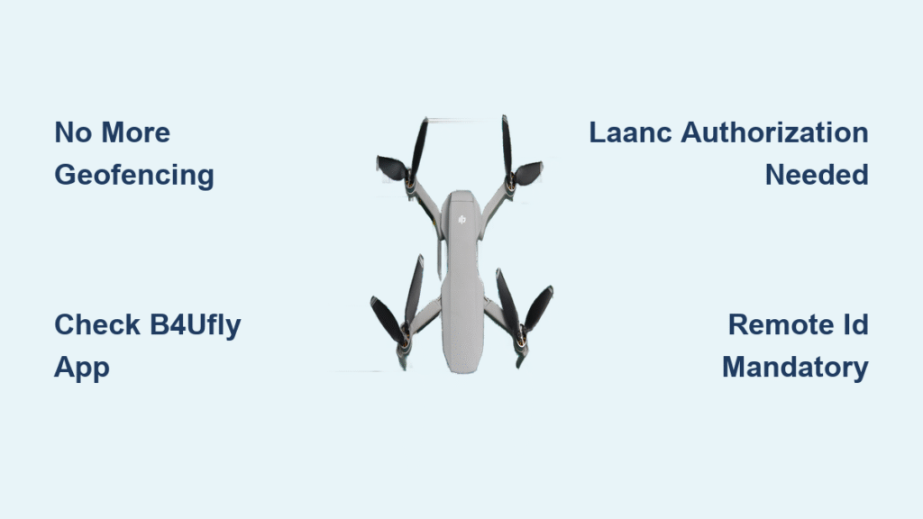
While DJI no longer blocks takeoff within five nautical miles of airports, FAA regulations still require special precautions in these areas. This doesn’t automatically prohibit flight—you simply need proper authorization. For recreational flyers, this means checking airspace status via the B4UFLY app before every flight. Commercial operators must obtain LAANC authorization through approved platforms like AirMap.
Controlled Airspace Classifications You Must Recognize
Understanding airspace types determines your legal requirements near airports:
– Class B (Major Airports): Requires LAANC authorization for any flight
– Class C (Medium Airports): LAANC needed for commercial operations
– Class D (Small Towers): Check specific airport requirements
– Class E (Transition Areas): Varies—always verify with B4UFLY app
Your Mini 4 Pro might weigh under 250g, but near airports, registration and Remote ID requirements often still apply. Check your specific drone’s weight with batteries installed—many “sub-250g” models exceed this threshold when fully equipped.
LAANC Authorization Process for Airport Operations
For legal commercial flights near airports:
1. Open approved LAANC app (AirMap, SkyVector, or B4UFLY)
2. Select your operation area on the interactive map
3. Enter flight details (altitude, duration, purpose)
4. Receive instant approval for most zones below 400 feet
5. Keep authorization visible during flight in your app
This process takes less than two minutes but is now mandatory—DJI won’t block you from flying without it, but the FAA will penalize you if caught.
Remote ID: Your Critical Enforcement Shield

All DJI drones 250g and heavier must broadcast Remote ID, effectively replacing geofencing as the primary enforcement mechanism. This signal transmits your drone’s location, altitude, velocity, and takeoff point to anyone with receiving equipment—including law enforcement monitoring airport airspace.
Sub-250g drones like the Mini 4 Pro can operate without Remote ID in some recreational scenarios, but near airports, registration and Remote ID requirements often still apply. The Los Angeles wildfire incident demonstrated this risk: a sub-250g DJI drone interfered with firefighting aircraft, and without Remote ID, authorities had to conduct manual investigations to identify the operator.
Critical Violation Scenarios Pilots Must Avoid

Emergency Response Interference Risks
The Los Angeles wildfire incident serves as a stark warning. When a DJI drone interfered with Super Scooper aircraft, emergency operations had to halt—potentially endangering lives. Without geofencing, operators might not realize they’re violating temporary flight restrictions (TFRs) around emergency zones.
NOTAM Ignorance Consequences
Notices to Airmen (NOTAMs) create temporary restrictions around airports for events like airshows or VIP movements. These appear in B4UFLY but won’t trigger DJI warnings. Pilots who ignore current NOTAMs risk violating airspace even when their DJI app shows no restrictions.
Altitude Violation Traps Near Runways
While geofencing previously capped altitude near airports, you can now climb to 400 feet AGL even near runways—unless specific restrictions apply. This creates collision risks with aircraft on approach or departure paths that operators might not anticipate.
Pre-Flight Checklist for Airport Vicinity Operations
Essential Apps You Must Download
Before flying near any airport:
– B4UFLY: The FAA’s official airspace status app
– AirMap: Comprehensive LAANC authorization provider
– SkyVector: For detailed NOTAM information
– Weather apps: Critical for visibility checks
Documentation Requirements Checklist
Ensure you have these before each airport-adjacent flight:
– Remote ID compliance confirmation (if applicable)
– LAANC authorization screenshot (for commercial operations)
– Aircraft registration certificate
– Remote pilot certificate (for commercial operations)
– Emergency contact information
Risk Assessment Questions to Ask Yourself
Before takeoff near airports:
– What’s the nearest active runway and approach path?
– Are any manned aircraft currently operating in the area?
– Do I have visual observers for situational awareness?
– Can I maintain visual line of sight throughout flight?
– What’s my emergency landing plan if aircraft approach?
International Comparison: EU vs. US Approach
While the European Union transitioned to a warning-based system in 2024, their regulations require more comprehensive pilot training and certification, partially offsetting safety concerns. The UK reportedly maintained mandatory no-fly zones around airports, demonstrating that geofencing remains possible when manufacturer-government cooperation exists. This contrast highlights how political factors influenced DJI’s US decision more than pure safety considerations.
Enforcement Without Geofencing: What Happens If You Violate
How Violations Are Detected Now
Without automatic restrictions, enforcement relies on:
– Remote ID signals identifying your drone
– Visual identification by authorities or public
– Radar detection at busy airports
– Pilot reporting by other aircraft
– Investigative processes after incidents
Penalty Framework for Airport Violations
Violating airport airspace can result in:
– FAA civil penalties up to $32,666 per violation
– Criminal charges for reckless operation
– Certificate suspension or revocation
– Equipment confiscation in severe cases
Bottom Line: Your Responsibility Just Increased Tenfold
DJI’s removal of automatic airport restrictions doesn’t grant new freedoms—it transfers full accountability to you. The technology that once prevented violations now only warns you; avoiding them is entirely your responsibility. Master the B4UFLY app, understand LAANC procedures, and never assume “close to the airport” means “safe to fly.”
Before every flight near airports, verify airspace status, obtain proper authorizations, and remember that every takeoff now depends entirely on your knowledge and preparation. The safest pilots aren’t those with the most expensive DJI drone—they’re the ones who check before they fly and respect the skies they share with manned aircraft. In this new era of DJI drone airport restrictions, your awareness is the only barrier between legal operation and serious consequences.